|
|
|
Wewak Map Resurfaces Legends was recently contacted by Justin Taylan of PacificWrecks.com inquiring about the map used by Wahoo to reconnoiter Wewak, New Guinea on her third war patrol. The map, hand made in the boat's wardroom, was created out of necessity when it was discovered they had no navigational charts of the area -- and the fact that Captain Morton remained undeterred in his plan to carry out his orders. Fortunately,
an Australian high school atlas was brought forward by Dalton Keeter
as they neared the New Guinea coast. It contained a map of Wewak.
Dick O'Kane and the boat's quartermaster, Fertig Krause, first traced
the map onto toilet paper. Then they projected an enlarged image of
the toilet paper tracing onto the wardroom deck using George Grider's
father's Graflex camera, and a signal lamp. The projected image was
then traced onto a larger piece of paper which was used to navigate
the roadstead of Wewak. At the end of the patrol the homemade chart,
now noted with landmarks and the track of the attack on the Japanese
destroyer Harusame, was retained by Grider after he won the
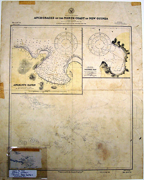
right to it in a round of poker. Wendy also confirmed another more recent donation of two charts of the "Running gun and torpedo battle" Wahoo engaged in on 26 January 1943. The gun battle charts were donated by Doug Morton in 1999 (these can be seen in O'Kane's book "Wahoo").. Below are images sent by Ms. Gulley of the Wewak chart. The first is of the chart which Wahoo carried with her of the area. You can see the hand made enlargement drawn below the printed navigational aids. In the lower left hand corner is the original tracing made from Dalton Keeter's atlas.
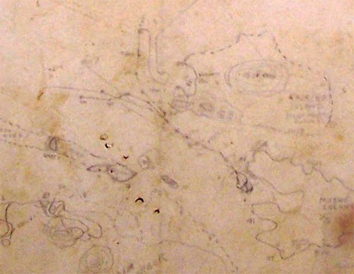
Below is a detail of the enlargement made by O'Kane and Krause showing Wahoo's track during her reconnoiter.
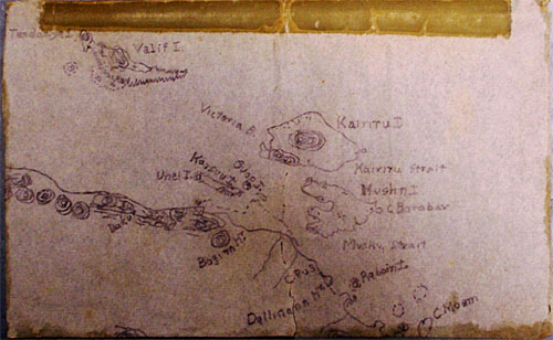
Here is a close-up of the original tracing made from Keeter's Australian atlas.
Justin has done extensive research in the area of Wahoo's battle off Wewak. During his trips to New Guinea he's visited the surrounding islands of the roadstead and posted pictures of the area to his website. Recently, he's posted updates on the discovery of several WWII submarine wrecks, including Wahoo. You can learn more here: http://www.pacificwrecks.com/listmanager/2.html. |


